About RTK base Single freq Dgps Surveying Instrument
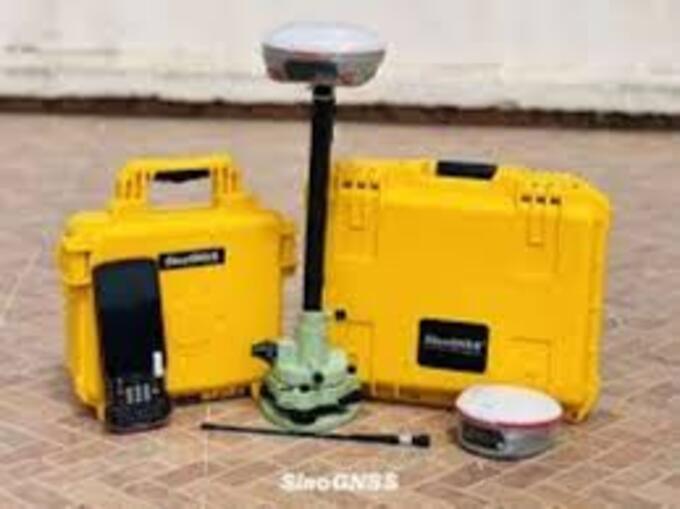
We are offering a high-performance Single Frequency RTK Base DGPS Surveying Instrument, designed for precise positioning and land surveying applications. This advanced system utilizes Differential GPS (DGPS) and Real-Time Kinematic (RTK) technology to deliver accurate and reliable measurements in real-time.
The instrument operates using a base and rover configuration, where the base station transmits correction data to the rover, significantly improving positional accuracy compared to standard GPS. DGPS systems enhance accuracy from several meters to centimeter-level precision in RTK mode .
Key Features
- Single-frequency GNSS receiver (L1 band)
- High accuracy up to 15 cm (RTK mode)
- Real-time data correction via base station
- Supports GPS / GLONASS / BeiDou / SBAS (model dependent)
- Built-in radio / Bluetooth / 4G communication options
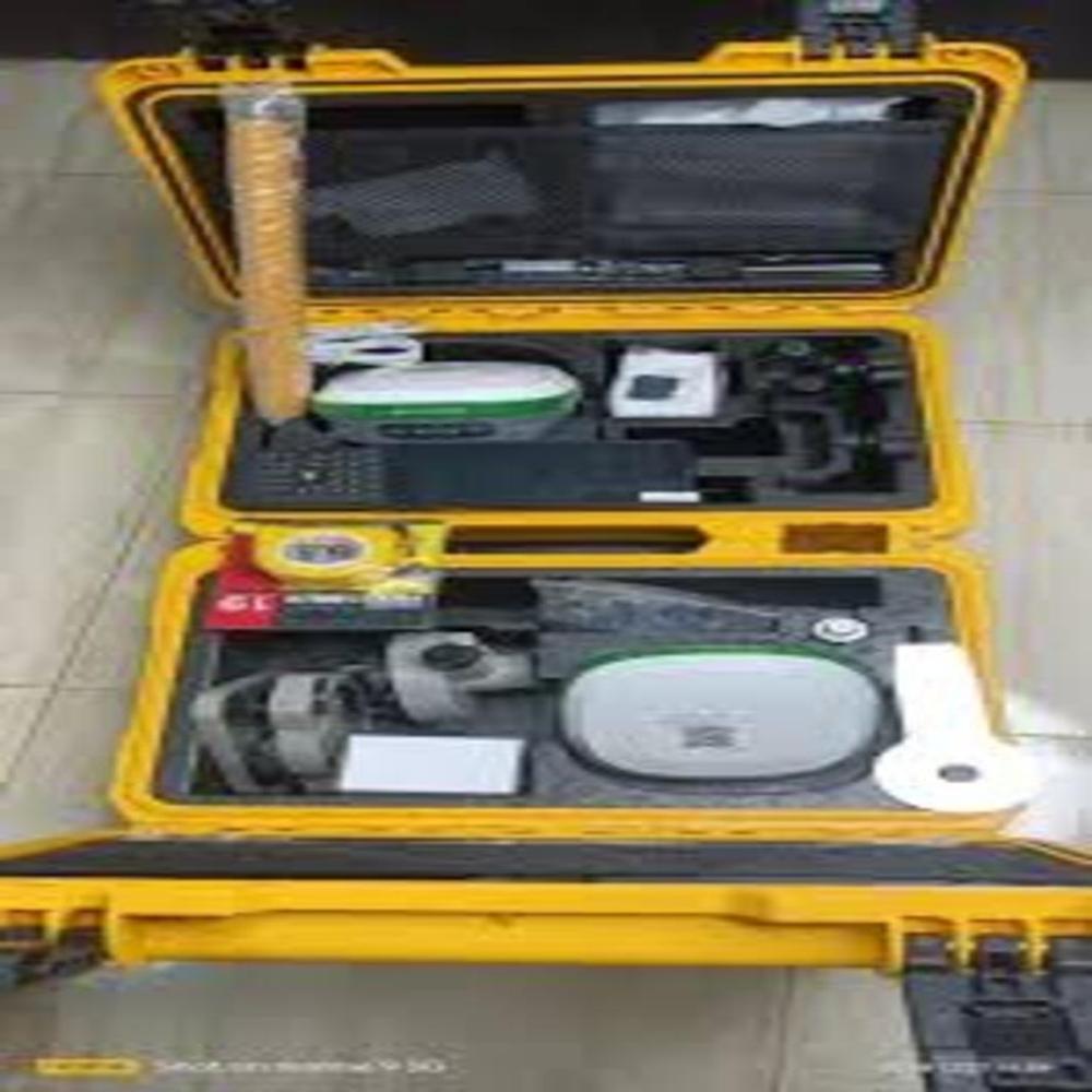
- Rugged and weatherproof design (IP65/IP67)
- Long battery backup for field operations
- Easy setup and user-friendly interface
Applications
- Land & cadastral surveying
- Construction and site layout
- Road & infrastructure projects
- Agriculture and GIS mapping
- Ground Control Point (GCP) survey
-
Centimeter-Level Accuracy Every TimeUtilizing DGPS correction technology, the RTK Base Single Frequency DGPS Surveying Instrument provides centimeter-level accuracy with RTK corrections. Its single frequency GNSS receiver is ideal for land surveys, GIS data collection, and construction site measurements, ensuring data quality and reliability.
Rugged Design for Field UseEngineered for the outdoors, this surveying instrument features an IP66 waterproof rating and an operating temperature range of -20C to +65C. The rugged housing, integrated precision GNSS antenna, and LCD display guarantee dependable operation even in harsh Indian environmental conditions.
Versatile Connectivity and Data OutputStay connected and productive with multiple communication interfaces including RS232, Bluetooth, GPRS, and UHF Radio. The instrument supports industry-standard NMEA 0183 and RTCM data formats, making it compatible with a wide range of survey software and devices. Firmware upgrades are supported via USB for future improvements.
FAQ's of RTK base Single freq Dgps Surveying Instrument:
Q: How does the RTK Base Single Frequency DGPS Surveying Instrument ensure high accuracy in land surveys?
A: The instrument uses DGPS correction technology with RTK support, enabling centimeter-level accuracy by correcting GNSS signals in real-time. Its single frequency receiver works efficiently for typical land survey and GIS collection tasks.
Q: What applications can this DGPS surveying instrument be used for?
A: It is suitable for a range of tasks including land surveys, GIS data collection, and construction surveying, offering robust performance in each application due to its precision and versatile connectivity.
Q: When should I use the RTK base instead of a traditional GPS receiver?
A: Use the RTK base when your project requires higher positional accuracy than standard GPS can provide, such as in property boundaries, infrastructure development, or asset mapping where centimeter-level precision is required.
Q: Where can I deploy this surveying instrument in the field?
A: Thanks to its waterproof IP66 rating and broad operating temperature range, the instrument can be deployed in various field environments, including construction sites, remote rural areas, and urban settings across India.
Q: What is the process for collecting and transferring survey data from this device?
A: Data can be collected and stored in the instrument's 8GB internal memory. Transfer is possible via USB, Bluetooth, RS232, or wirelessly using GPRS/UHF Radio, supporting quick integration with external computers and surveying software.
Q: How long can the device operate in the field on a single charge?
A: The built-in rechargeable lithium-ion battery provides up to 10 hours of continuous operation, ideal for extended fieldwork without frequent charging interruptions.
Q: What are the benefits of the integrated GNSS antenna and LCD display?
A: The high-precision GNSS antenna enhances signal reliability while the LCD display allows users to monitor settings, status, and data in real-time, improving workflow efficiency during surveys.
 Send Inquiry


 Send Inquiry